
Page 1100 - Proceedings Collega2023
P. 1100
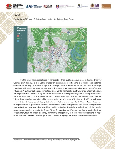
Figure 9

               Spatial Map of Heritage Buildings Based on Year for Taiping Town, Perak


                       On the other hand, spatial map of heritage buildings, public spaces, nodes, and connectivity for
               George  Town,  Penang,  is  a  valuable  project  for  preserving  and  enhancing  the  cultural  and  historical
               character of the  city. As shown in Figure 10,  George Town is  renowned for its rich  cultural heritage,
               including a well-preserved historic urban core with colonial-era architecture and a diverse range of cultural
               influences. A spatial map helps document and preserve this heritage by identifying and protecting heritage
               buildings and sites. Understanding the spatial distribution of heritage buildings and public spaces is crucial
               for urban planning. It informs decisions about  zoning, land use, infrastructure development, and the
               integration of modern amenities while preserving the historic fabric of the town. Identifying nodes and
               connectivity within the town helps optimise transportation and accessibility in George Town. It can lead
               to improvements in pedestrian-friendly infrastructure, traffic management, and public  transportation,
               making the town more accessible to residents and tourists alike. A spatial map of heritage buildings, public
               spaces, nodes, and connectivity for George Town, Penang, is a multifaceted tool that promotes heritage
               preservation, tourism, urban  planning, community engagement, and economic development. It helps
               strike a balance between conserving the town's historical legacy and fostering its sustainable future.


               International Conference on Local Wisdom of the Malay Archipelago (COLLEGA 2023) Page 1087